

The Leeward Islands
Travellougue Caribean - Leeward Islands 2026
Useful Tips
Travel information
As well as Air France, several airlines operate daily flights via Paris Charles de Gaulle to Pointe-à-Pitre in Guadeloupe. I’m spending the night from Friday to Saturday in an apartment relatively close to the marina. It’s in Bas du Fort, but this place borders directly on Pointe-à-Pitre. As in so many places around the world, the odd taxi driver here tries to squeeze a few extra euros out of the tourists’ pockets.
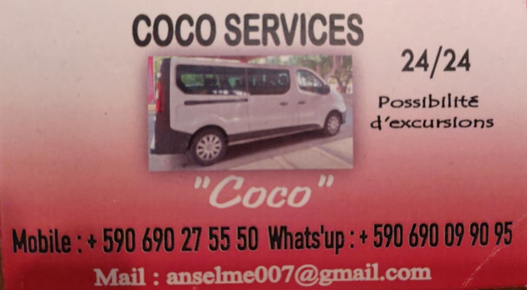
I’ve had an excellent experience with Cocos Taxi Service. I was driven from the marina to the airport for 30 euros. If there are several passengers, you’ll certainly pay more, but you should definitely make sure that a single person doesn’t agree on a price which is then multiplied by the number of passengers. As far as I know, there’s no bus service at the times I arrived and departed.

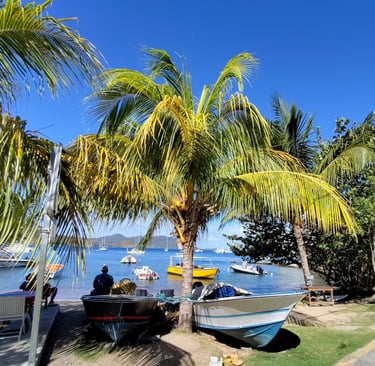
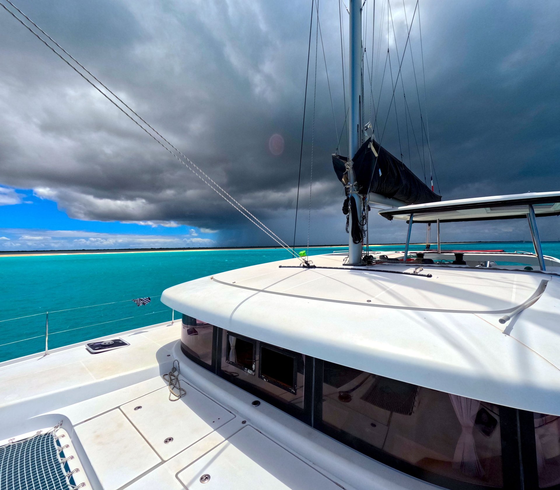
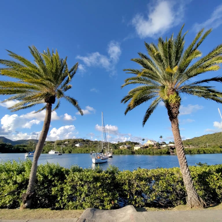
It’s less than three kilometres to the charter base – I can walk that, even if I have to drag my nearly 23 kilos of luggage behind me. But be careful! The mooring for the VPM Bestsail catamarans isn’t actually in the marina itself, but can be reached via a separate entrance next to the Coco Kafé. I tried to open the entrance door, but couldn’t manage it. Apparently, the door was just slightly jammed, which meant I had to walk an extra two kilometres to the actual marina entrance and back. Not yet used to the high humidity and warmer temperatures, and with luggage to boot, it wasn’t exactly a walk in the park.
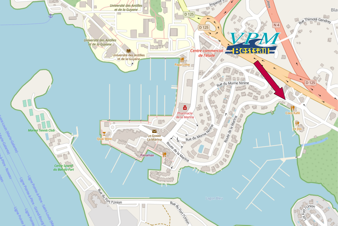
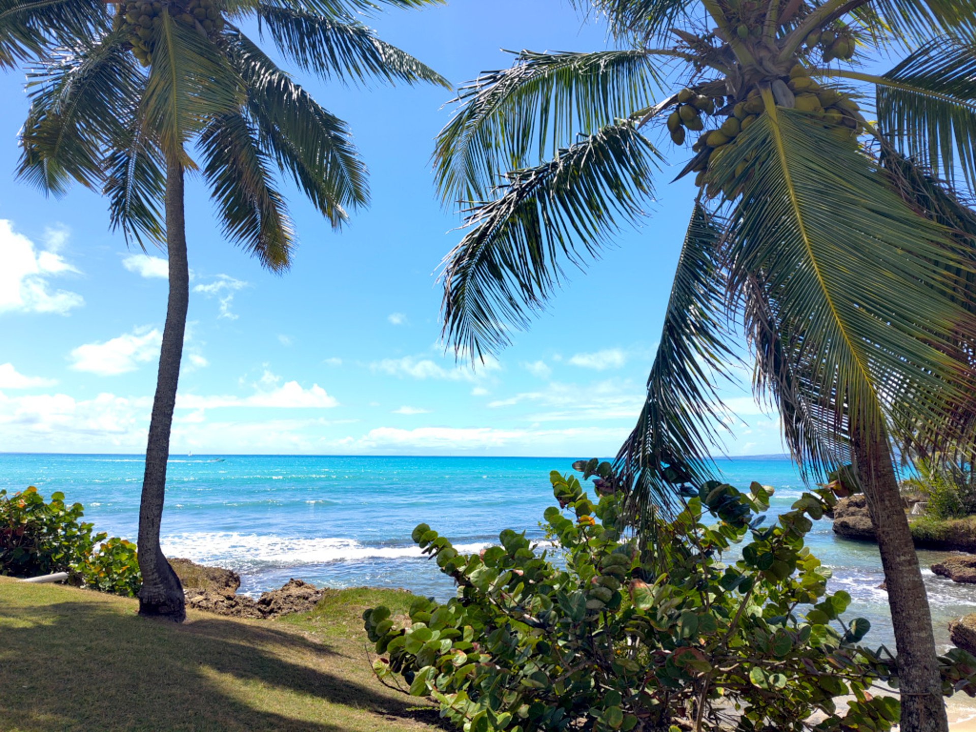
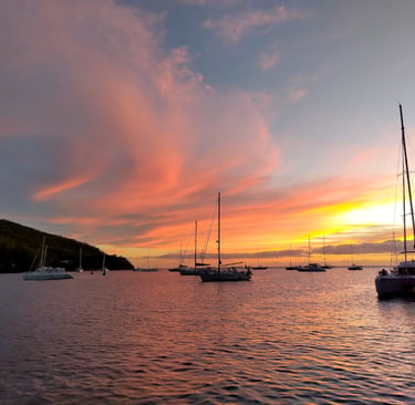
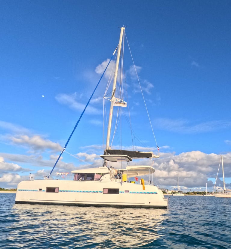
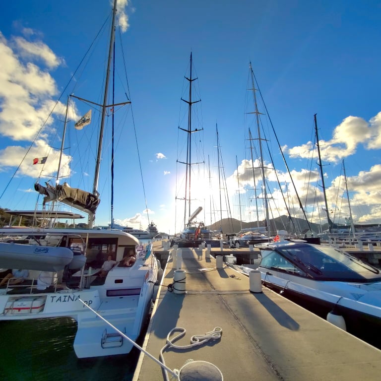
Marina Bas du Fort auf Guadeloupe
It’s best to arrange for a taxi driver to help with your grocery shopping, as the nearest suitable shops are a bit further away. You can also order online and have your shopping delivered, but this needs to be arranged well in advance of your departure. I can’t say for certain whether everything will be delivered as requested. In Germany, this didn’t work out for me at all on one occasion.
The two restaurants near our mooring aren’t cheap, and booking in advance is essential. As we haven’t done so, we head back to the marina. And I have to say that the walk seems much shorter without our luggage.
Unlike when setting off from Martinique to the Windward Islands, we don’t need to have completed the customs formalities yet, as we’re spending a few days in Guadeloupe. The formalities are dealt with at the north-western tip of Guadeloupe, Terre Basse (the left wing of the butterfly shape that, with a little imagination, can be made out in the country’s outline), in the small town of Deshaies. I will discuss the associated pitfalls later.
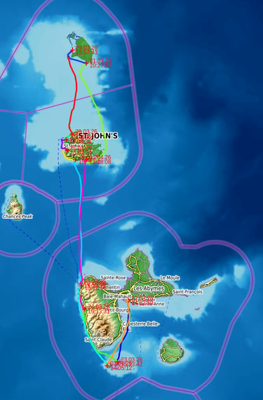
Itinerary
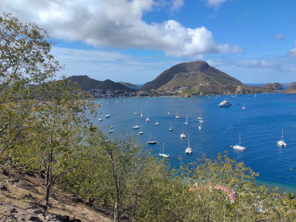
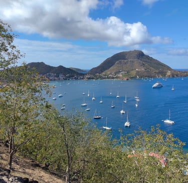
Îles des Saintes
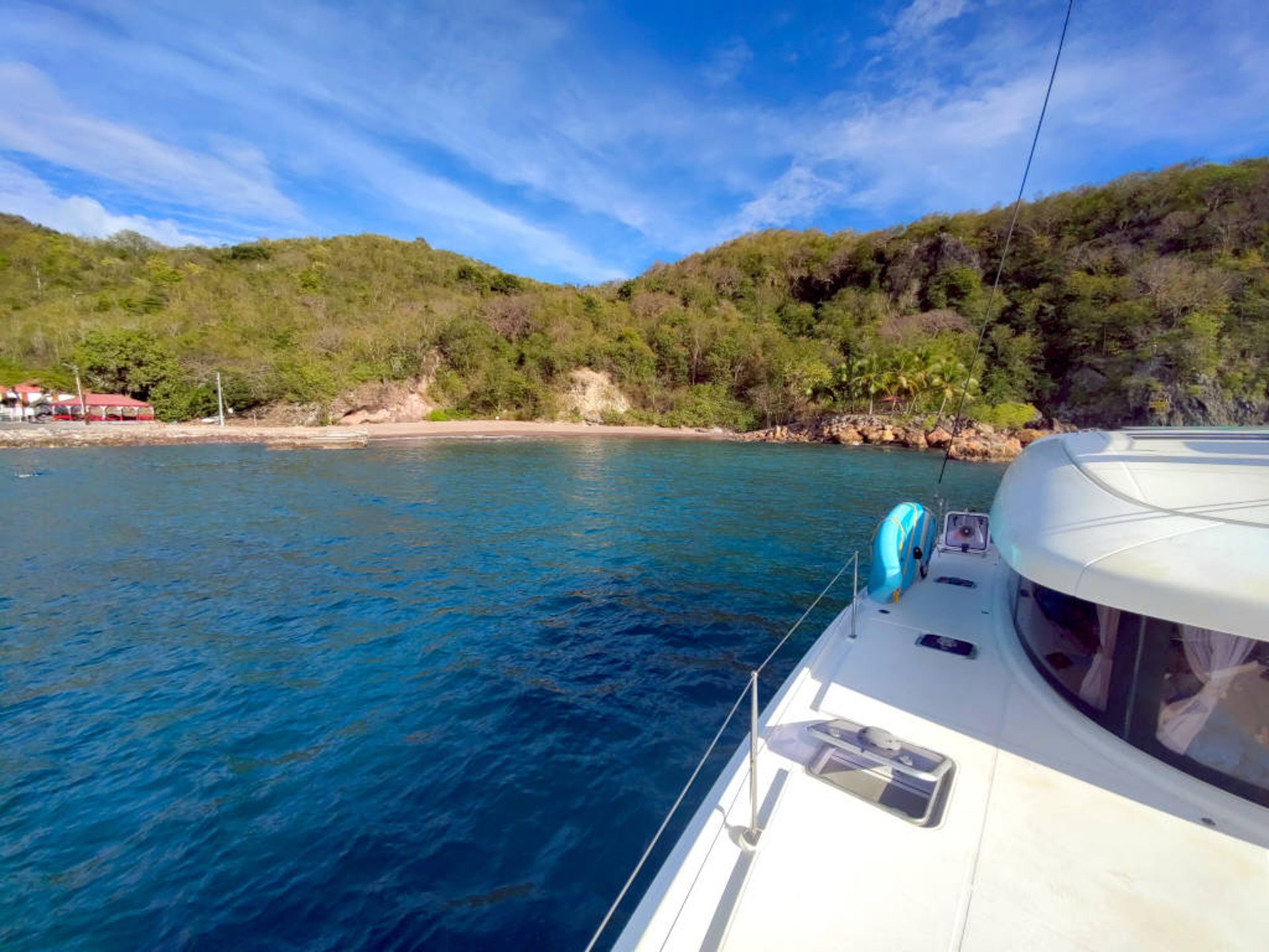
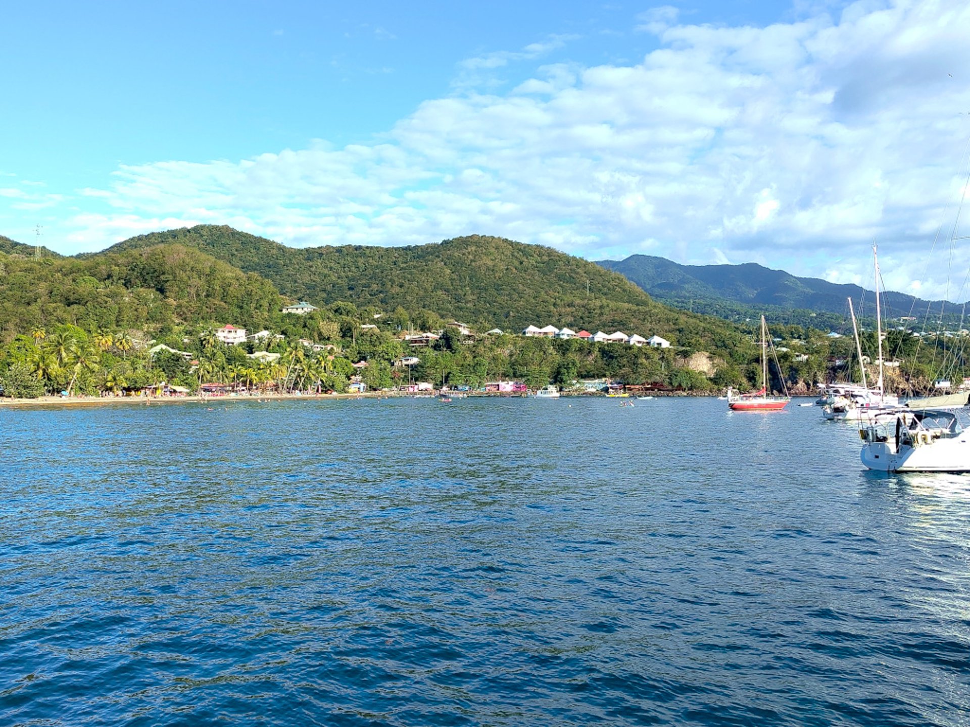
Our first destination is the Îles des Saintes archipelago, south-west of Guadeloupe. The leg covers around 25 nautical miles and is ideal for getting the trip off to a good start. Exiting the marina looks a bit tricky, but it isn’t necessary to follow all the lateral markers. The two shoal buoys that you pass to the east are sufficient once you’ve cleared the first reefs. It is more important to watch out for the many fishing nets located along the coast.We head for the main island of Terre-de-Haut and look for a free buoy. Although we’re travelling in the off-season, the number of boats moored here is impressive. We find one of the few free buoys (were there really only two?) and moor using a line stretched out from the stern. We haven’t tried mooring the buoy via the bow. At least we’re moored directly to the ring above the buoy. We don’t have to wait long before a small motorboat pulls up alongside to collect the 16-euro mooring fee. A bargain.
The town has plenty of tourist amenities, so we have dinner in a restaurant overlooking the bay.
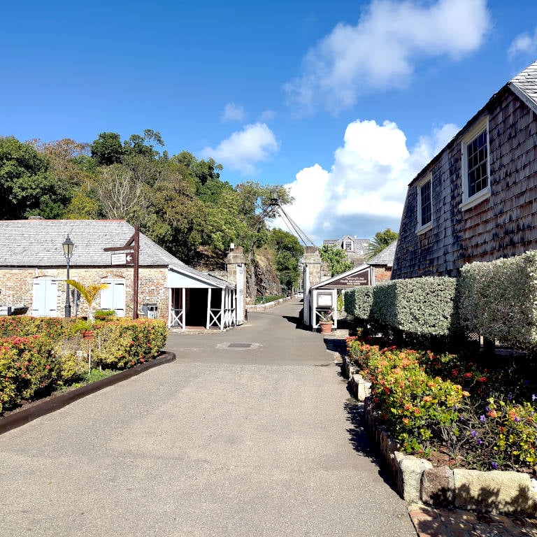
The next day, we set off on foot towards Fort Napoléon on Les Saintes. It’s highly recommended, as the climb is rewarded with a magnificent view over the bay. We didn’t visit the fort itself, as there’s an admission charge. But the walk itself offers plenty of opportunities to enjoy beautiful panoramic views.
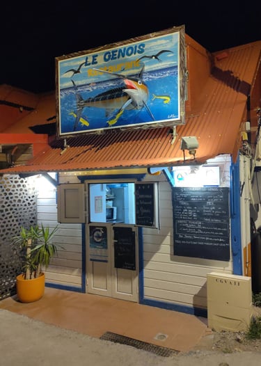
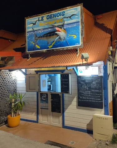
Restaurant Le Genois
Phone: +590 590 98-2599
The restaurant Le Genois is situated close to the dinghy landing stage. Serving traditional West Indian cuisine and offering a stunning evening view across the anchorage, its waterside location makes it the perfect place to round off the evening.
Recommended contact
We’ll step away from the chronological narrative (which continues here) and round off our impressions of the Îles des Saintes, which we visited once more on our return journey. The south-western coast of Guadeloupe didn’t strike us as a particularly appealing place to spend the night at anchor. A motorway running right along the shore and the stone fortifications don’t exactly make you want to spend your last evening there. Nevertheless, I was surprised at how many boats had chosen this option. Does this mean that the intended anchorage and snorkelling spot off the island of Terre-de-Bas is also overcrowded?
Long before we arrived, we could see that a few boats had settled along the shore of Anse de Dos, the westernmost spot where we could find a place to anchor. One Navily user mentions that the bay is only suitable for three boats, but the number of masts exceeds that figure. We decide to take a closer look anyway; we’ve ruled out other options in winds of nearly 20 knots.
Luckily for us, a boat leaves the bay just before we arrive; unfortunately, I couldn’t make out exactly where it had been moored. We drop anchor as close to the shore as possible – a privilege enjoyed by catamaran sailors. The outdated nautical charts on board still mention some restrictions near a jetty, but this was more or less swept away during the last hurricane. A survey of the area by snorkelling has also revealed no cause for concern.
Thanks to the excellent anchorage management by the other boats, night falls over the bay, which is now filled with seven boats. We’ve got the prime spot closest to shore. With the wind suddenly dropping and a few yachts turning in an uncoordinated manner, we put out a couple more fenders, even though we’ve hardly ever seen other boats do this. It just makes for a slightly better night’s sleep.
Îles des Saintes - The coming Back
After our visit to the Îles des Saintes, we head along the west coast of Guadeloupe. The landscape rushes past us, very green; one might almost imagine a jungle lying inland. The coast itself, however, is not particularly attractive. The wind conditions are not ideal either. The easterly wind sweeps past Guadeloupe to the south and north, only to turn back after a few miles. On both the outward and return journeys, we noticed that around the middle of the island the wind blows from the west, only to die down completely after a few nautical miles.
The first interesting spot we choose as our overnight anchorage after our hike to Fort Napoleon on Les Saintes – partly because it was getting late – is the Cousteau Reserve near Malendure. Judging by the linked website, it appears to be a specially protected marine reserve; choosing a suitable anchorage was, in fact, anything but easy. There aren’t many options for designated anchorage points. Before setting off, I downloaded the Nav&Co app, which isn’t actually all that helpful. But I don’t think it can do any harm to have a quick look at it. According to the old nautical chart, you still have to pass through a naval firing range on the way to the marine protected area, but updates to the chart data show that this area has been significantly reduced in size. I couldn’t spot the masts that were supposed to have been flying the Foxtrot flag during the exercises, even from the shore.
The final leg of our Guadeloupe trip is approaching, so it’s time to sort out the departure formalities. The online departure process is set up, though filling it in is quite a laborious task. Ideally, you should enter the crew details, including passport details, before departure. I have drawn up detailed instructions for this (only available in german language), which apply to both Martinique and Guadeloupe.
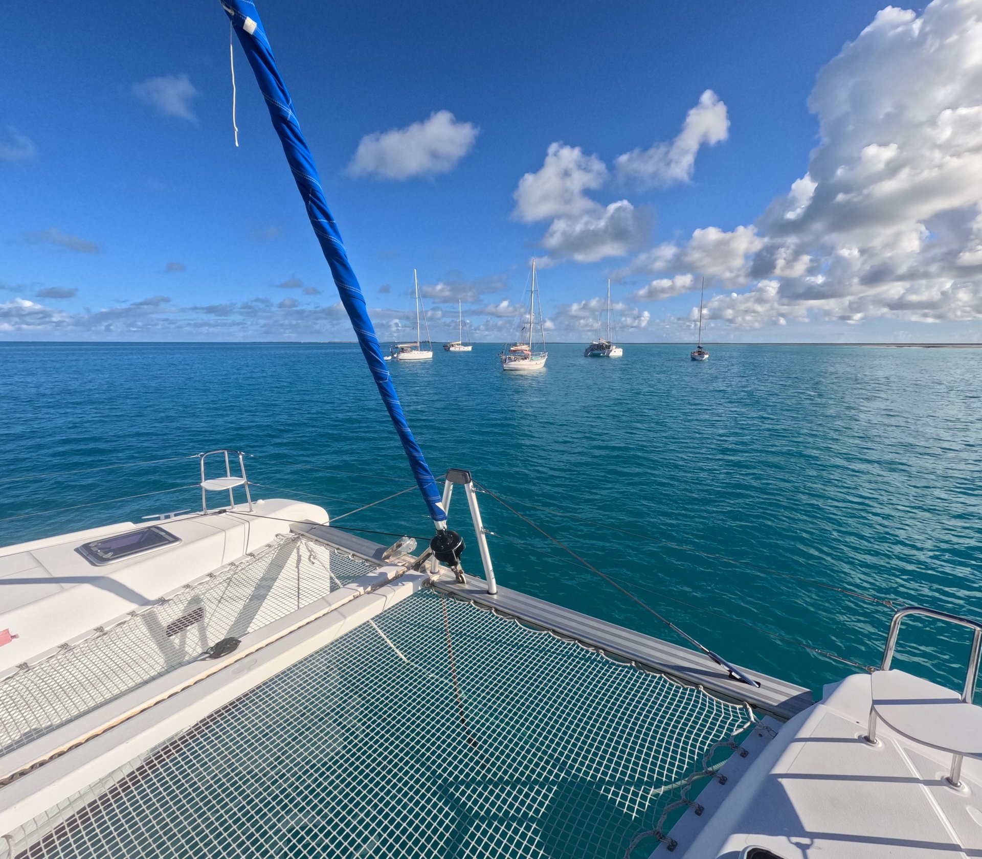
The place people usually go to for this is Deshaies. My notes tell me that the office is supposed to be open until 4 or 5 pm, but we soon learn that they close much earlier. We wanted to choose a mooring in Deshaies – but couldn’t find one; they were all fully occupied. So we dropped anchor. And that’s a problem in this spot. The wind is blowing steadily from the east, so we moor the boat relatively close to the buoy field. Unfortunately, this will change dramatically as darkness falls. The wind dies down completely, and the swell and current cause all the boats to drift about haphazardly. Our neighbour at the buoy points out to me rather unkindly that we’ve anchored too close to the buoys. I can see that too. Our neighbour keeps nagging me about my assurance that I have the situation under control and am just waiting for the crew to return, so I end up hauling in the anchor myself and looking for a spot in the bay, which is rather cramped given the weather conditions. In the process, I lose my beloved sailing goggles – a real nuisance. After a few manoeuvres, I find a spot that’s more of a makeshift solution than anything else. Over the course of the following morning, we’ll see that we’re getting dangerously close to another yacht. Fortunately, there’s a laid-back skipper on board. I do feel a bit queasy, though, when I realise I’ve sailed right through more fishing nets. Luckily, nothing happened. Anchoring in Deshaies – that’s definitely something for the advanced course.
As soon as we finally obtaining our exit stamps from the port office container at Deshaies the following morning, we can at last set sail for Antigua, albeit far too late. We have more than 40 nautical miles ahead of us.
Antigua
After a nearly ten-hour crossing, we arrive at the south coast of Antigua in good spirits. Clearing customs is no longer an option. I dismiss my thoughts of heading for English Harbour or Jolly Harbour. It shouldn’t matter where you anchor with the yellow flag hoisted. So we opt for Carlisle Bay. There is a hotel complex on the beach, but we see very few guests. A lovely spot and a large anchorage.
The next day, with the Quebec (yellow) flag still flying, we set off, making a stop to drop anchor in strong winds so that we could go for a swim, meaning we didn’t arrive at the pre-booked harbour of Jolly Harbour until the afternoon.
I was told that my original plan – to moor in the harbour first and then go to Customs and Immigration – was completely naive. The first thing to do is clear customs. So we head for the immigration jetty and, suspecting nothing, make our way to the office. The clearance has been prepared via the eSeaClear website, and the 24-hour deadline that applies for clearance in most countries has been met. However, this is interpreted differently in every jurisdiction; otherwise, the following discussions would not be possible. The officer asks us several times when we were where and why we did not enter the country immediately. After we have repeated the unfortunate circumstances five times, he points out to us on several occasions that normally a hefty fine would have been imposed. If he’d known that, contrary to what we’d told him, we’d actually gone for a dip in the water a couple more times, there would have been a real row. A skipper friend of mine told me that some guests in English Harbour who hadn’t cleared customs were also caught swimming and were slapped with a hefty four-figure fine. Clearing customs in Antigua? Don’t take it lightly!
We check in at the marina by radio and are guided to our berth at the far end of the jetty. Unusually for the Caribbean, we moor to two bollards, which we have to pass before docking stern-to. This is a welcome change; after all, this method of mooring is standard practice for sailors on the Baltic Sea. We can’t find the right adapter for the power supply (a point I hadn’t paid enough attention to when taking over the boat; in the Windwards, we’d never moored in a marina). However, our friendly neighbours put out a quick call on the radio and, sure enough, a helpful Canadian came round to lend us the adapter. Due to the large number of long-term residents from the US, Jolly Harbour doesn’t really have that Caribbean feel to it, but it’s ideal for a fun karaoke evening and, above all, for stocking up on supplies.
We continue northwards towards Barbuda. Before that, we’ll stop for lunch at Deep Bay. There’ll be a chance to go snorkelling, as the funnel of the sunken Andes wreck rises slightly above the water in the middle of the bay.
Almost every post on Navily mentions those obnoxious jet ski riders. At first I thought people were being a bit touchy, but after half an hour I can wholeheartedly agree. The engine of this craft seems designed to mask whatever serious shortcomings the rider might have (the word has already been gendered). Fortunately, all the swimmers return safely.
Passing a pipeline used for loading or unloading tankers, I try once again, to no avail, to locate the navigation marks I’ve spotted on my various charts or plotter. Apparently, there are relatively new yellow buoys marking a no-entry zone. Perhaps there is something in the several-page update notes for the Imray charts, which of course have not been updated on our paper charts. We follow the locals as they set off on their day-trip catamarans. A pragmatic approach.
The last good anchorage before heading to Barbuda is Dickenson Bay. It’s a huge anchorage, but in places it’s very shallow. We drop anchor first in the northern part to catch a glimpse of the English red telephone box situated near the beach, then we move again right next to a floating bar where the party is in full swing. Disappointingly, however, this party ends very quickly and was a private affair anyway. So we’ll have to open our private bar on board. Not the worst thing, either.

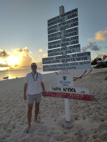
Barbuda
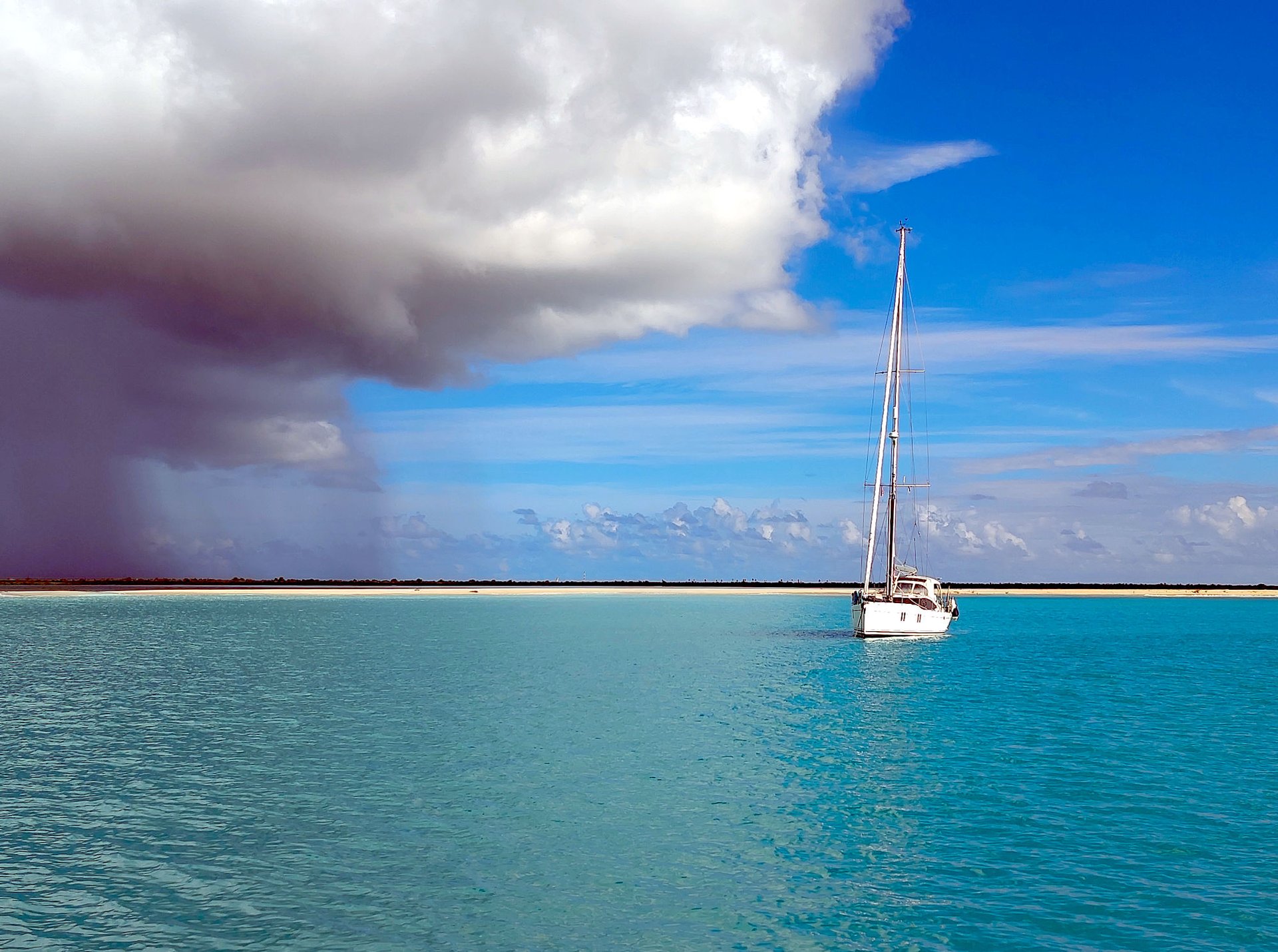
After several enquiries, our immigration officer has confirmed that there is no need to go through customs again in Barbuda. We are still in the same country; the two islands belong together. But somewhere, deep in the depths of the internet, I had come across a suggestion that the customs formalities still had to be completed upon arrival in the town of Codrington. But can you even call this a town? Barbuda has a population of around 1,600, the majority of whom live in the village mentioned. However, it is not easy to get there. Ten years ago, there was a long beach in front of a lagoon that protected the village from the open sea. Since Hurricane Irma, which passed directly over Barbuda, the Codrington Lagoon has been breached to the west for several hundred metres. You can navigate into the lagoon using the dinghy, guided by a few branches stuck into the seabed to mark the way. This entrance has its pitfalls, however. Even when the sea is relatively calm, the wind-driven chop and an unpleasant swell converge here. Whether this is caused by distant weather systems or whether the spring tide is having such an effect – after all, it is a full moon – I cannot say for certain. You do have to be very careful at the entrance so as not to be washed out of the dinghy, though. There’s also the uncertainty as to whether the broken-off trees actually mark the entrance. The water is so clear that you can see the seabed very clearly when the sun shines on it. And it looks incredibly shallow. The numerous squalls all around us, which fortunately aren’t hitting us directly, are severely affecting visibility as they pass, making it even harder to gauge the depth of the water.
We finish our long walk along the beach and weigh anchor. We decide to sail around Nine Feet Bank; some yachts sail straight over it. Nine feet of water depth would suffice. However, the area lies behind Palmetto Point, a headland surrounded by a lot of sand. As it is possible that a shallow sandbank has formed, we decide to give the thrill a miss.
The nautical chart often shows the seabed as Co, i.e. coral, but there are also so many sandy patches that there is plenty of space to anchor. You really need that space. At Coco Point, ships are lined up one after the other. And indeed, at Princess Diana Beach, we need to make a second attempt at anchoring – the first and only time we’ve had to do so.
As has been the case throughout the trip, we can see numerous turtles poking their heads up for almost a minute before diving back down. The dolphins, however, have been few and far between so far.
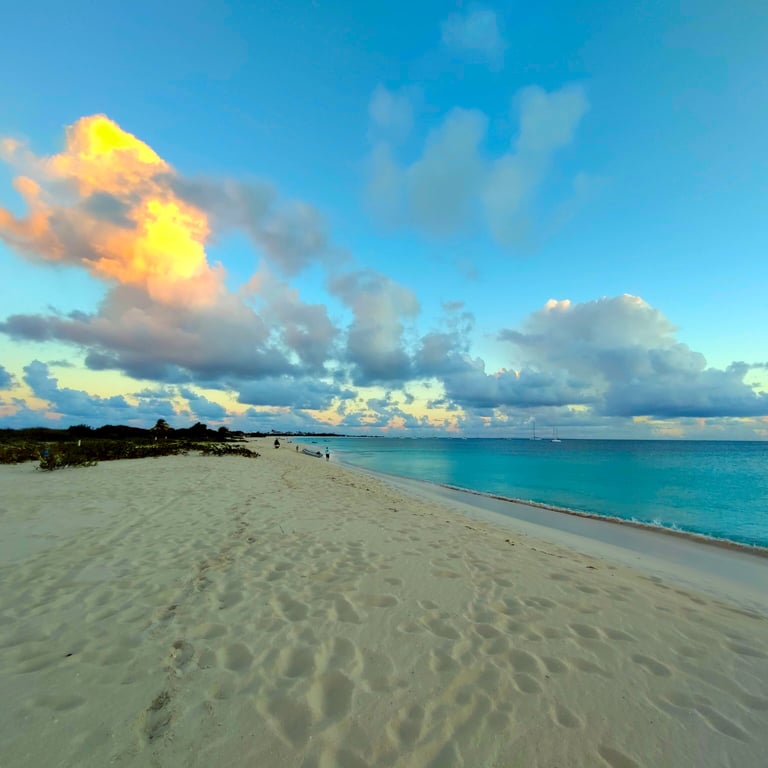
We’re already halfway through our trip, but our search for a restaurant this evening has unfortunately been unsuccessful. A 24-hour advance booking is required for a lobster dinner on the beach. We have a quick chat and decide to spend another day in this otherwise beautiful spot. Unfortunately, a certain Robert de Niro has bought up a large chunk of the land for ‘Eat the Rich’ candidates and had a luxury resort built there. A stroll along the beach is possible, but as soon as you walk 50 metres inland, you are made very clear that the land is private property and must not be entered. Countless security guards and checkpoints ensure this. My enthusiasm for this gentleman has cooled considerably, especially as locals have told us that he has a remarkably unpleasant manner.
Enoch's Shack A Kai - Bar
Phone: +1 (268) 714-6612
I’ve found it easier to deal with recommendations in the past. The service could do with a bit of improvement; the lobster is served with just a single potato wrapped in foil, and I had chicken myself – the portion was modest. On the other hand, the location is sensational; I’ve never seen such fine white sand anywhere else. There aren’t many options at Princess Diana Beach if you want to go out for a meal. Give it a go.
Recommended contact
Tuesday is already dawning; now it’s time to say goodbye to Barbuda and, above all, to get a move on. The legs will be a bit longer. After all, it took us 7 days to get here, and now we have 4 days to reach the charter marina. To keep the route from becoming too long, we’ll sail along the east coast of Antigua to English Harbour. The sailing instructions on the Imray chart look challenging. I’ll leave it open as to whether the A271 chart is on board. The weather is on our side, though, even if the wind could be a bit stronger. For a while, the two diesel engines hum as they propel us forward. We navigate carefully through the offshore reefs, keeping as far away as possible from the areas described as dangerous.
We’re running low on water on board, so we decide to head for a marina. Responses are slow to come, or non-existent; only Falmouth Marina sends us a confirmation, quoting a rate of US$6.50 per foot per day. Not exactly cheap, but berths at this historic spot all come at a price.
Our little Tania joins the mega-yachts moored in this harbour. There are some truly impressive sailing yachts tied up here. The welcome at the harbour is more than friendly. The shower facilities and toilets, however, are rather average. We’d expected more.
Although we set off fairly early in the afternoon, the customs and immigration offices are already closed. On the extended path from the offices towards the berths lies the Berlin-based Magic Star, which is being sailed across the Atlantic by my former sailing instructor. It never ceases to amaze me how often you bump into people you know in the most remote corners of the planet. After a friendly natter on the jetty, we head back to the marina and get ready to go ashore.
We are leaving Antigua and Barbuda
Trappas Restaurant
Phone: +1 (268) 562-3534
Web: https://trappasantigua.com/
As is the case in so many restaurants in the areas we’ve visited, the same rule applies here even in the off-season: be sure to book in advance, especially if you’re travelling with a large group.
Recommended contact
I’m already at the departure counters a few minutes before 8am, and they open fairly punctually. eSeaClear has been completed and submitted, which speeds up the clearance process considerably. It’s unthinkable to have to enter the data on one of the computers provided. I am gallantly ‘overtaken’ by a Canadian woman, but this allows me to see and hear which forms need to be filled in and, above all, what questions are being asked. Starting with the Port Authority, which, without a shred of remorse, presented me with a bill for 130 euros for my departure, and then customs, which, after a frantic stamping of documents, sent me to the passport office, only for me to be told I’d have to come back again.
Apparently, they’re not quite awake yet. I’ve got a strange stamp in my passport: ‘Immigration cancelled’. Nice and red – a different, more eye-catching colour for a change. As expected, the exit stamp is clearly visible on the next page. The date: 01/04/2026. Ah yes, the ‘Cancel’ stamp says 31/03. They’ve obviously forgotten to update the date on the stamp.
We’re done in just under 30 minutes; now we just need to quickly settle the bill at the marina. ‘Quickly’ doesn’t quite work out, though, as the computers used for billing are out of order. We brainstorm all sorts of wild solutions, only to end up paying by credit card in the end, just like any other time. It doesn’t always have to be easy.
But we’re back on the water in good time and set our sights on Grand Anse in Guadeloupe. Another long journey, but the company of a young sperm whale for a few minutes makes the trip all the more enjoyable.
Grand Anse, on the north-western tip of Guadeloupe, is to be our anchorage for the night. We reach our destination in the late afternoon. However, we quickly abandon the idea of taking the dinghy ashore to find a restaurant. The swell is sending waves crashing onto the beach, making it seem impossible to land.
It’s too late now to clear customs at the Customs Office in Deshaies. Tomorrow, Thursday, will see us set off on another long leg, so it’s back into the hustle and bustle of Deshaies. It’s even more off-season now, but there are still just as many boats. We secure another decent anchorage and the crew goes for a meal. It feels too unsafe here for me; once again we’ve anchored close to the buoys, and the steel catamaran next to us isn’t moving in time with the rocking of the other boats. This time, though, everything goes smoothly.
Customs clearance goes easy; we sail down the west coast to take up the anchorage at the Îles des Saintes, as described above.
The final leg is upon us. Contrary to the recommendations, we take what is supposedly the shortest route along the east coast of Terre-Basse and find ourselves confronted with countless fishing buoys. The oncoming current slows us down even further. Squalls ahead, to the right, behind – it’s unbelievable that we haven’t been caught in a single downpour. And just as pleasing is the fact that we’ve been able to make good progress under sail for the last two hours. We can sail right up to the marina entrance and only lower the sail at the turn-off to the petrol station. Well done – that went really well; we’re a well-coordinated team.
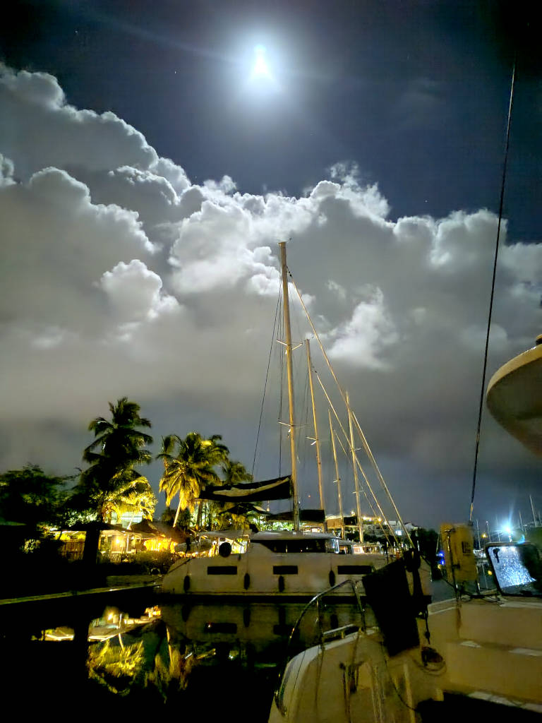
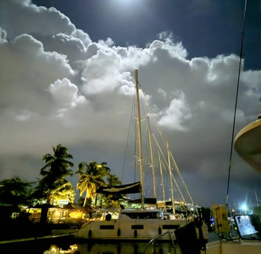
Moored at the berth, handing over the yacht and, most importantly, getting our deposit back – we’re making the most of our final hours and our last night on board. The moon is casting its light on this beautiful moment.
SIM-Card
There are numerous providers offering both data and call allowances for smartphone use. After weighing up the pros and cons, I opted for SimOptions. Payment by credit card is available, the price is affordable (€5.90 for a week and 1GB of data), and the excellent network coverage means I can wholeheartedly recommend it.
Cash/Payment Methods
Exchange some cash into East Caribbean Dollars (XCD, pronounced ‘i ßi’). You can usually get by with a credit card in Antigua & Barbuda, but, for example, when entering Jolly Harbour, the harbour fee had to be paid in XCD cash.
Nature and Landscape
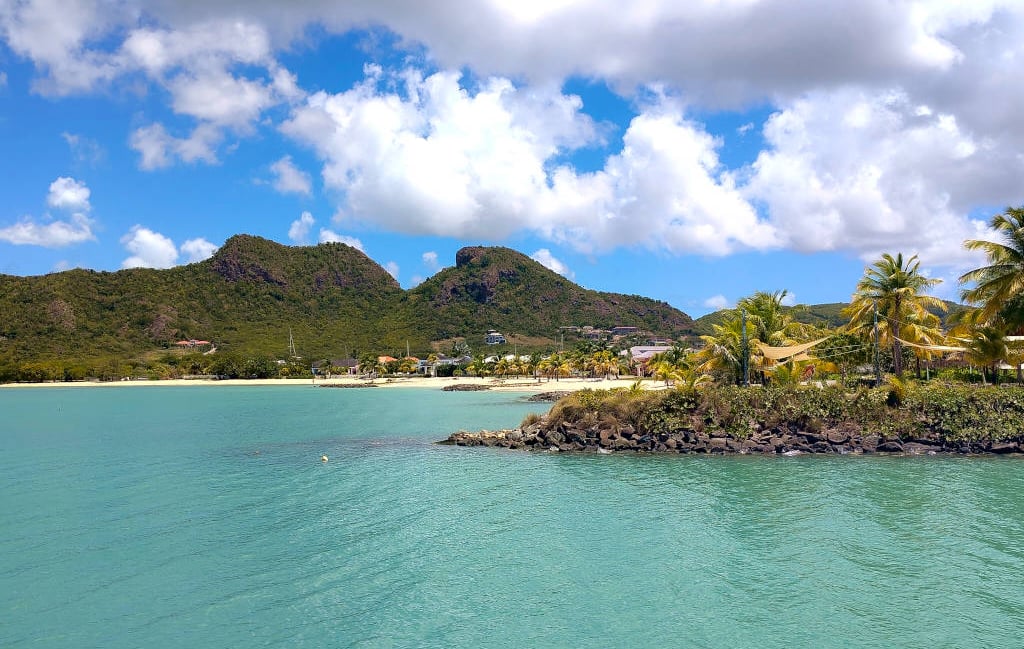
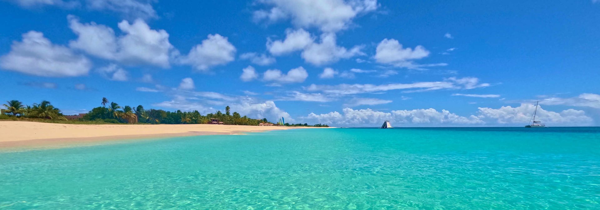
Guadeloupe’s ‘left wing’ – Basse-Terre – boasts lush vegetation. The south-western part appears rather barren and is of less interest to sailors. Things really come to life in Malendure, where an attractive beach can be found. The further north you go, the more likely you are to come across picture-postcard beaches.
Formalities
Please don’t take this lightly. Whilst entry and exit procedures in St Lucia or St Vincent are still fairly relaxed, in Antigua you’ll be thoroughly grilled about when and how you entered the country, where the boat is, whether you’ve already been in the water, and so on. It is also important that the eSeaClear documents have been submitted; Antigua requests that these be sent 24 hours before entry. Sailclear, which we are familiar with from St Lucia, can probably be used, but I haven’t tried it myself.
Ressources
It really drives home the point that water on a yacht isn’t an endless resource like it is at home. You don’t need to shower three times a day. Water is a precious commodity and isn’t easy to come by whilst sailing in the Lesser Antilles. It’s expensive, too. The crew were excellent on this trip. We only topped up twice in Antigua; this was possible at the marinas in Jolly Harbour and Falmouth Harbour (or English Harbour).
Useful tips
Contact
Write me
+49-162-5401120
© 2026. All rights reserved.
Social links? No Facebook, no X, no Instagram. These platforms have no place in my world.
Google Ads and Google Analytics free site!